
La Habra Block Records by Source
A block lookup is a set of narrow records, not one public directory. The source table below shows what each channel can contribute and how access is limited. The first four sources are parcel or civic records. Community groups add public contact routes, while historical address directories can show an earlier snapshot. None should be treated as a complete list of every household member at every address.
| Source | What It Shows About a Block | Access |
|---|---|---|
| OC Land Insights parcel browse | Adjacent parcel outlines, APNs, addresses, and map context | Free click, identify, and select tools |
| Orange County assessment roll | Owner and parcel facts, plus available mailing information | Parcel-by-parcel web or counter access |
| Orange County recorder index | Title parties and transfers for selected parcels | APN, legal-description, name, and date modes; online from 1982 |
| La Habra permit map | Projects and work history on surrounding parcels | EnerGov and city request route |
| Voter precinct layer | Shared electoral geography only | GIS layer, not voter names |
| Community groups | Organization contacts and meeting or joining routes | Public city listing; no member roster |
The owner field answers a title question. The situs address answers a land-location question. A mailing address can point elsewhere. Even when the two match, the result does not prove who is present. That owner-not-household distinction is the core accuracy rule for the La Habra block.
Map La Habra Blocks by Parcel
Use the OC Land Records viewer as a parcel map first. Its Find Address or Search control centers the starting point. Select on Map or Identify returns the clicked polygon, APN, and related map context. The goal is to build a list of surrounding parcels, not to claim that the map has identified every person who lives nearby.
- Enter the known situs address and confirm that the map centers on the correct La Habra location.
- Click the starting parcel with Select on Map or Identify. Save the APN, parcel address, tract or survey context, and visible jurisdiction layers.
- Click each immediately adjoining polygon and record its APN. Compare the shape and address with the Orange County property search before using an owner field.
- Check mailing and situs fields separately. A different mailing location can describe an owner, trust, representative, or another property.
- Use the recorder index for a title-party question, the city permit route for project history, and the street workflow when the question expands beyond the immediate block.
The parcel-to-owner handoff can be written as a simple flow: address, map polygon, APN, assessment record, recorded instrument, then a separate check for any household or community clue. For a full named-street chain, use the La Habra By Street workflow instead of repeating every segment from a neighbor search.
Draw a La Habra Block
OC GIS offers Draw and Measure tools that let a researcher mark a working block or radius around the starting parcel. Treat that shape as a research boundary, not an official household boundary. The map can also change basemaps and themes, reveal tract or annexation context, identify parcels, and export layers clipped to the visible extent. The Associated Documents Map adds document choices such as parcel maps, tract maps, records of survey, corner records, lot-line adjustments, topographic surveys, and annexation-related context.
Make the buffer deliberate. Draw around parcels that share a side or corner with the target, expand only for a wider civic question, and record why each parcel was included. Query and map-selection caps mean a broad export may require smaller extents. A polygon does not prove occupancy.
For the most useful block note, save the map date, APNs, tract or survey labels, and any city or county boundary layer. That makes a later check repeatable when parcel geometry, online layers, or public fields change.
Owners Are Not La Habra Households
The Orange County assessment roll can connect an APN to an owner or tax mailing field when the public interface and law allow it. It does not establish a complete household. A title holder may use a mailing address elsewhere. A parcel may have more than one grantee. The tax bill may display only the first deed name even when all current grantees hold title. Other occupants and household members are not safely inferred from the owner record.
Recorder data has the same boundary. The Grantor/Grantee Index supplies party names, recording dates, document types, and identifiers, but the index is not a household list. A recorded deed proves a transaction or interest in land. It does not prove that a named party sleeps at the situs address or that the named party is the only person connected to it.
When a block question involves a project, use La Habra’s EnerGov search or a narrow city request with the address, APN, date range, and project number. Permit applicants, owners, architects, and contractors can be named in a disclosable file, but each name has a role. Preserve that role beside the result instead of treating every person as an occupant.
California Voter Data and La Habra Blocks
California voter information is not an open block directory. My Voter Status verifies the requester’s own status, districts, and election details. It is not a tool for entering a La Habra street and receiving a list of nearby voters.
The Orange County election data hub separates public maps and statistics from the restricted voter-file process.
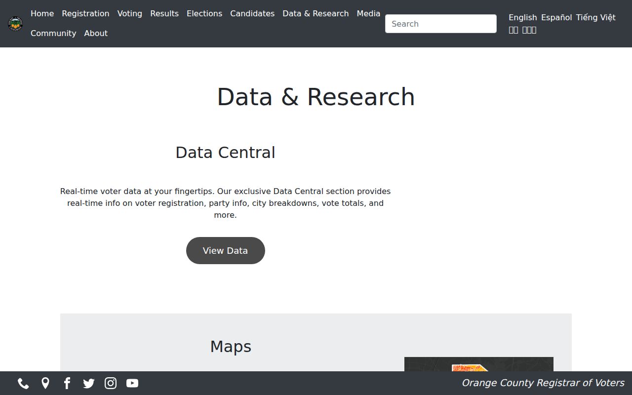
That separation is why a precinct layer can help describe the block’s shared electoral geography without revealing voter names. Election geography is a map feature, not a household roster.
The Orange County voter-data request information lists the qualified-use application path rather than a casual neighbor search.
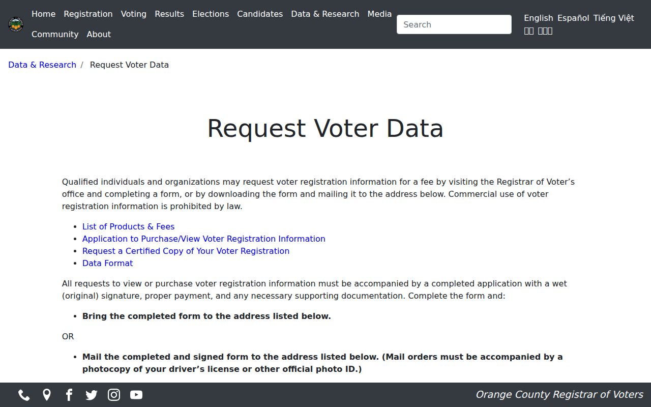
A qualified request requires applicant details, requested geography or election fields, a permitted-use statement, security attestations, original signature, supporting material, payment, and delivery choice. Commercial use is prohibited under Elections Code section 2194. Do not repurpose it as a neighbor list.
The certified-copy request for one’s own registration is a separate self-service route.
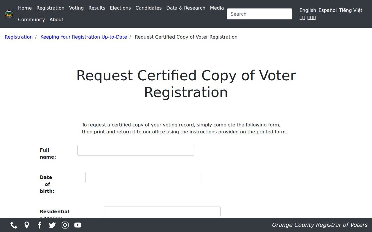
The form asks for name, date of birth, residential address, city, ZIP code, alternate mailing address, phone, and email. It supports the requester’s own record, not an unidentified block list.
Community Contacts Around La Habra
Public organizations offer a better route to meeting people nearby than reconstructing a private member list. The city listing names civic, service, nonprofit, faith, and youth groups. The details below are limited to public descriptions or contacts documented in the research.
| Organization | Verified public detail | Appropriate use |
|---|---|---|
| La Habra Community Collaborative | Connector for nonprofits, schools, businesses, and faith or service groups | Ask through the public city organization route about community programs or history |
| Kiwanis Club of La Habra-Highlanders | Listed local service club; Kiwanis founders also appear in historic gallery evidence | Use its public organization route for civic or historical contact |
| La Habra Host Lions Club | Tuesday meetings at Veterans Memorial Hall, 209 N. Orange Street; 562-691-3482 | Use the public meeting contact, not a private membership list |
| Rotary | Listed by the city among La Habra community organizations | Ask through a public club route about meetings or service work |
| Soroptimist International Brea/La Habra | Established in 1973 and listed as a regional service organization | Use public organizational contact for history or programs |
| Youth groups | Cub Scout Pack 817, Boy Scout Troop 1814, Girl Scout Service Unit 102, Boys & Girls Club, and Rosie’s Garage are listed | Use public program contacts; do not seek a youth roster |
These groups can help a resident join a service project or ask about local history. They do not verify who lives at a parcel, and public contact does not grant a roster.
La Habra Neighbor Civic Project Areas
La Habra’s traffic-program project areas show how a block can be defined for civic work without exposing household identities. Area O was described near Walnut between La Habra Boulevard and Imperial Highway. Area G was bounded by Whittier Boulevard, College Street, La Habra Boulevard, and Orange Street. Area H was bounded by La Habra Boulevard, Idaho Street, Hillandale Avenue, and Beach Boulevard.
Those project areas are not resident directories. They are bounded places used for a public process. The traffic program historically required at least a 50 percent survey response and 67 percent plan approval. That history can help explain why a community map, petition, or project file refers to a block while omitting the names of the people who live there.
- Use the project boundary to understand the civic question being asked.
- Use parcel GIS for land geometry and APN context.
- Use the city request route for an identifiable project file.
- Do not treat survey participation as proof of residence for every parcel.
Block geography is valuable context. It becomes misleading only when civic boundaries are recast as a household list.
La Habra Neighbor Tools: Official vs Commercial
When a result seems to offer every neighbor at once, compare the record category first. Official sources take more work because custodians are split, but the role and date of each field stay visible. Compiled tools can merge similar names or retain stale addresses.
| Category | Strength | Limit |
|---|---|---|
| Official parcel and tax records | APN, situs, parcel facts, and owner fields tied to a county custodian | Ownership is not a household list; mailing and situs can differ |
| Official recorder index | Recorded parties, dates, document types, and land-transfer references | Index identifiers are not full images and do not prove occupancy |
| Official election records | Self status, maps, statistics, or qualified products with a stated purpose | Names and identifying fields are restricted under California rules |
| Commercially compiled neighbor data | May create a quick cross-source lead | Custody, freshness, matching, and lawful-use limits are harder to verify |
Use a commercial category, if encountered, only as an unverified lead and never as proof. Confirm any important fact with the county, city, court, election office, archive, or organization that holds the underlying record. A source that cannot explain its field should not decide who is called a neighbor.
La Habra Neighbor Privacy Limits
Some gaps are deliberate protections. California’s Safe at Home program gives qualifying survivors and specified workers a substitute mailing address that agencies generally accept. Utility, delivery, DMV, child, and other household details are not a lawful parcel lookup.
California’s DROP platform provides a statewide route for qualifying residents to send one deletion or do-not-sell request to registered data brokers.
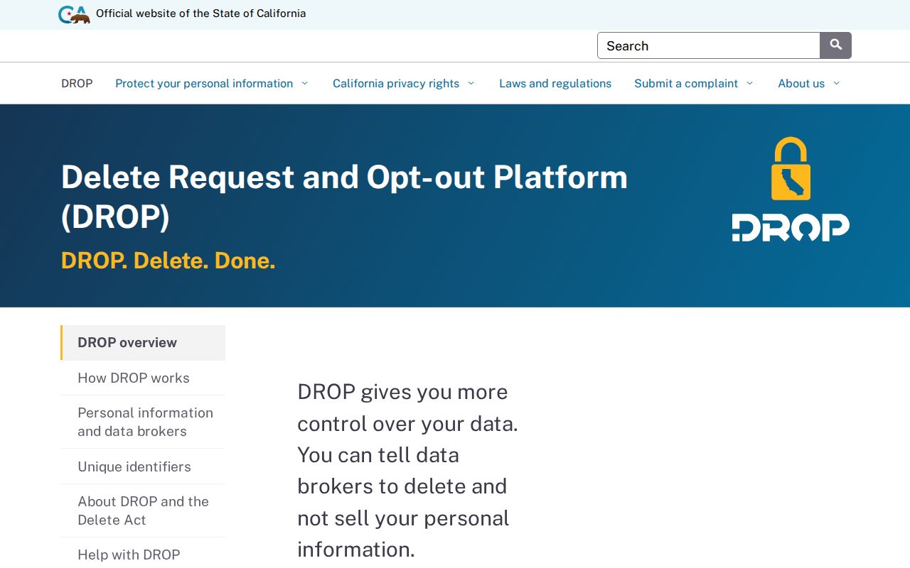
DROP controls covered broker data. It does not erase a deed, court file, or other government record held under a separate rule.
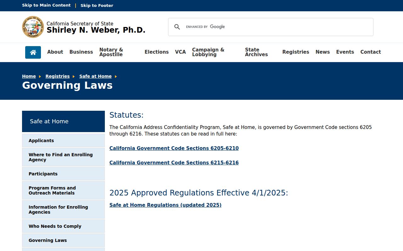
The Safe at Home governing-law materials explain the substitute-address protections that can make an apparent neighbor location intentionally incomplete.
Never try to resolve a substitute address by comparing it with a parcel map. If a person asks for a correction, use the custodian’s process instead of publishing the protected location.
Lawful neighbor research. Use La Habra neighbor records for getting to know the block, reconnecting, civic participation, and personal safety awareness. Do not use a parcel, voter, organization, or privacy record to watch, intimidate, harass, or threaten anyone. California Penal Code section 646.9 addresses stalking conduct that includes repeated harassment and a credible threat.
End by asking what exact record the field proves. Keep parcel location, precinct geography, and public meeting contacts in their separate categories.