
La Habra ZIP Code Coverage
Only one general ZIP is verified for the La Habra delivery area in the research record. That does not mean every address with the same postal code sits inside the same city, county service area, or parcel jurisdiction. The postal service assigns delivery geography. Orange County and La Habra assign public records by office, parcel, project, or legal boundary. Keeping those systems distinct is the first safeguard against turning a ZIP code directory into an inaccurate list of people.
| ZIP Code | Areas Covered | Post Office | Notes |
|---|---|---|---|
| 90631 | City of La Habra and mailing territory that includes separate La Habra Heights locations | La Habra Post Office, 1001 W. Imperial Hwy., La Habra, CA 90631-9998; 714-992-0580 | Retail hours reported as Monday-Friday 9:30 a.m.-5 p.m. and Saturday 10 a.m.-2:30 p.m.; ZIP boundary is not a city limit |
No additional general, unique, or PO-box-only ZIP serving an actual La Habra parcel was verified. A different number should not be added because it appears in a neighboring address, an old directory, or a search result. Validate a specific address through the USPS ZIP lookup entry point, and record the result with the date checked. The post office details above describe the verified 90631 facility, not a promise that every service is available to every address.
La Habra ZIP 90631 Coverage
90631 is shared by La Habra and mailing territory associated with the separate City of La Habra Heights. For the ZIP code directory, 90631 is therefore a delivery-area key, not a citywide resident count. That is the central geography fact for the local postal directory. An address can carry the La Habra postal name while sitting outside the incorporated city, or it can be described by a city and county combination that does not match the delivery label. The Census QuickFacts entry for La Habra adds demographic context. The postal city is useful for delivery, but it is not proof of municipal service, voting district, police jurisdiction, permit custody, or county island status.
Use the postal check as a gate, then use a map and parcel search to identify the actual place. The OC Land Records viewer can center an address, identify a parcel, show map context, and expose layers such as annexations and survey records. The map does not become a household directory simply because an address is inside the delivery area. Its value is the parcel key and boundary context that let a researcher ask the right public office for the right record.
Searching La Habra by ZIP Code
A postal search works best as a narrowing sequence. It does not produce a reliable ZIP-wide resident roll. The Orange County Assessor’s public interface is parcel and address oriented, and an unrestricted public owner-name search was not verified. The county GIS can show parcel geometry and some address or postal attributes, while California voter data is restricted to a self lookup or qualified request. The steps below keep those limits visible.
- Confirm the delivery ZIP and mailing city with USPS. Save the exact address string, including any unit or directional wording.
- Run the address through the Orange County secured-property search to identify the parcel record, APN, situs, and available assessment fields.
- Open the same place in OC Land Records. Check the selected parcel, adjoining geometry, city context, and any annexation or tract layer before assigning La Habra jurisdiction.
- Use California My Voter Status only for the searcher’s own registration. A ZIP-wide voter list is not a public directory. A qualified Orange County data request has a permitted-use application, original signature, supporting material, and payment.
- Once a ZIP narrows the work to a street, move to the La Habra by-street address workflow for parcel and record-chain research.
The sequence keeps the ZIP in its proper role. It tells a researcher where mail is delivered. It does not identify every person at an address, prove owner occupancy, or reveal unlisted household members. For a name question, a separate person-focused record search is needed.
La Habra ZIP Filters and Parcel Fields
The assessor field set is more useful than a claim that the county has a ZIP resident search. The documented public search accepts a parcel number or an address key. The result is a parcel record, not a population count or household list. Interfaces can change, so preserve the field labels and the date of the search when a record matters.
| Field | Type | Required | Format or use |
|---|---|---|---|
| APN / parcel number | Text | One search key | Keep leading zeros and hyphens as the interface directs. |
| Street number | Text | Address mode | Use the exact numeric portion of the situs address. |
| Street name | Text | Address mode | Try the name without a suffix or direction if no match appears. |
| Search / Reset | Buttons | Not applicable | Reset a failed address before trying a parcel key. |
Property fields can include a situs address, mailing indicator, legal description, assessed values, use code, and characteristics when supplied. They do not safely supply phone numbers or every person in a household. A mailing address can point to an owner, trust, representative, or another place. Use the APN to carry the question into GIS or the recorder index, then verify the underlying document when title or historical identity matters.
La Habra ZIP and Parcel Keys
These terms prevent common postal mistakes. A label can be correct for delivery while the local jurisdiction differs. A parcel search identifies land, while a deed can use a legal description unlike the street text.
- Situs address
- The physical location of the parcel. This is the place shown on a map and used to connect the address to land.
- Mailing address
- The destination for tax or assessment correspondence. It may be elsewhere and does not prove who is present at the situs.
- APN
- The Assessor’s Parcel Number, an administrative key used to find a parcel and carry the same land record across map and tax systems.
- Legal description
- The deed’s formal identity for the land, such as a tract and lot reference. It can remain useful when postal names or street numbers change.
- ZIP code
- USPS delivery geography. It helps validate a mailing address but does not define La Habra’s city boundary.
Carry the APN and legal description beside the ZIP, especially around old Central Avenue records and county-island areas.
La Habra ZIP and Central Avenue
La Habra Boulevard was historically Central Avenue. The city source confirms the earlier corridor name but does not verify an exact rename year. A postal directory search that uses only the modern street name can therefore miss a newspaper, map, permit reference, or directory entry. Search both names, keep the source’s original form, and mark the point where the name changes remain uncertain.
Planning maps and recorded subdivision or tract maps can bridge the gap. The GIS viewer’s parcel, tract, survey, annexation, and road layers help connect a postal address to a stable parcel key. That is stronger than guessing from a street suffix. If a source gives only Central Avenue and a nearby landmark, compare the historic wording with the map and ask the relevant custodian for the address or parcel cross-reference.
This is a local search trap, not evidence of a second ZIP. The verified ZIP table remains limited to 90631. Street-name history changes how a record is found, while delivery geography changes how mail is routed.
La Habra ZIP County Islands
A 2017 La Habra annexation proposal described six remaining county-island areas: Macy/Randall, Citrus/Idaho, Citrus/Entrada, Cypress/Terry, Hensel/Magda, and Palm/Shadycrest. Together they were described as about 130.7 acres. These named pockets show why a 90631 mailing label cannot settle the question of which agency holds a permit, service, or older administrative file.
For a parcel near one of those areas, compare the USPS result with the city map, the OC GIS annexation layer, and the record’s stated custodian. Verify the final annexation or effective date before assigning historic responsibility. A current city map and an older permit can reflect different boundaries without either record being false.
- Use USPS to confirm deliverability and the postal city.
- Use OC GIS to inspect parcel, tract, annexation, and district context.
- Use La Habra City Hall’s records route for city-created files.
- Use Orange County offices when the parcel or historical series remains county-held.
La Habra ZIP Search Limits
State portals can look like broad people searches even when their records are not designed for ZIP browsing. The California State Controller’s unclaimed-property search and its property search form are name and claim tools. They are not a 90631 household roll. The separate source is useful when an old address or name leads to an official claim question, but a match must be handled through that program rather than folded into a ZIP list.
Likewise, the California Megan’s Law registry has public search modes and statutory limits. A name or map result is a regulated public-safety record, not proof that every person at a ZIP or parcel appears there. Do not use a registry result to infer neighbors, occupants, or a complete neighborhood.
The ZIP code directory remains most accurate when it states what is missing. There is no reliable per-ZIP resident directory for La Habra. Parcel ownership, voter data, state registries, and historical directories each have a defined purpose, access channel, and privacy boundary.
The California State Controller’s unclaimed-property portal is a separate name-based public record source, not a ZIP-wide resident roll.
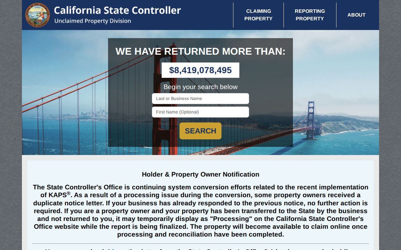
The distinction helps keep an official state search from being mistaken for a La Habra ZIP directory. A ZIP narrows delivery geography; the custodian and record type determine what a result means.
The State Controller property search form shows why a dedicated record purpose matters when a ZIP question turns into a name or claim question.
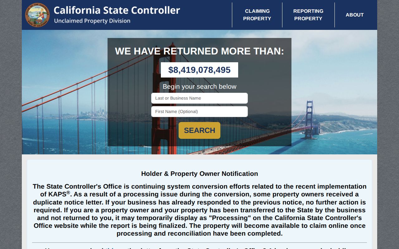
Use the form for the claim or property inquiry it serves, then return to the parcel and postal checks for the La Habra address question.
The California Megan’s Law registry is another distinct state record source with its own search purpose and use limits.
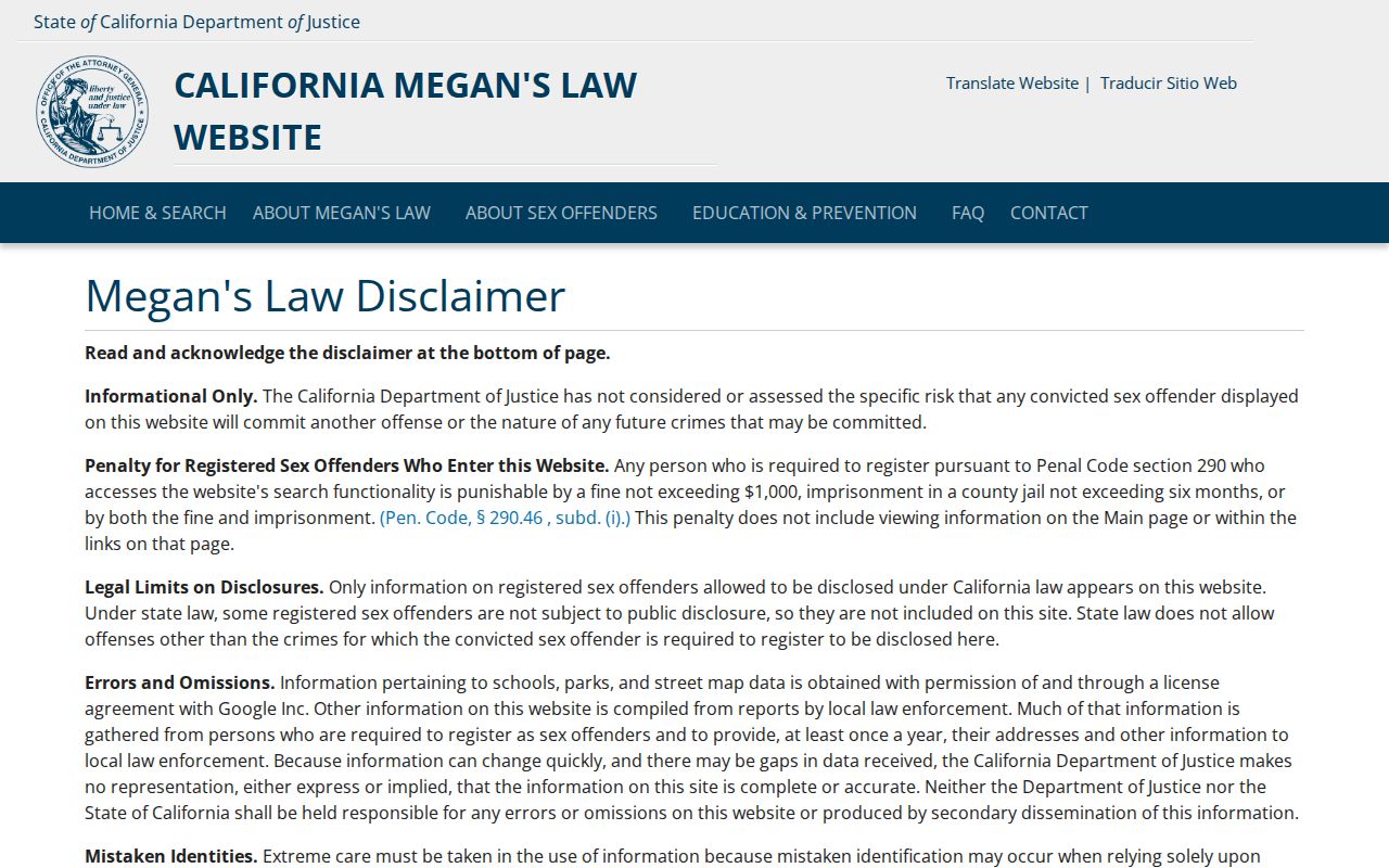
A registry result is not a ZIP-wide resident list. Keep it in the state registry category and follow its public-safety restrictions.
La Habra ZIP and City Checks
USPS validates the delivery side of a postal code. City and county maps validate the governmental side. Those answers overlap in much of La Habra, but they are not interchangeable. The La Habra Post Office details in the verified table identify the facility serving 90631. They do not place every 90631 location inside the incorporated city, and they do not assign a parcel to a city department.
Before relying on a ZIP result, write down the postal response, situs address, APN, and legal description. Note whether the source is a tax record, GIS feature, instrument, voter product, registry, or directory. A ZIP field does not prove a city boundary, and no ZIP field does not prove a ZIP search.
A sound ZIP code directory is therefore a map of access and limits. It identifies the verified delivery area, explains the La Habra Heights overlap, discloses the absence of another verified ZIP, and routes the next question to the right Orange County or California custodian.