
Trace a La Habra Street Address
Start with the exact street number and name. Move from the postal label to a stable county key, then to records that can be checked against one another. In La Habra, an owner in an assessment record is not automatically the person who lives at the parcel. A tax mailing address may be elsewhere, and the county does not publish a complete household roll. The street directory workflow moves from address to APN, map, deed, city file, and limited voter or historical evidence.
Address → APN → GIS parcel → recorder index → permits → voter or reverse directory. Follow the chain in that order:
- Resolve the address. Enter the number and street name in the Orange County secured-property search. Preserve the returned APN, situs address, legal description, and any displayed assessment context.
- Carry the APN into GIS. Open OC Land Records or OC Land Insights, find the same address, and check that the selected polygon, tract, lot, and nearby streets match the place being researched.
- Use the county map as a check. Identify the parcel and inspect adjoining polygons, associated maps, surveys, or annexation layers. A map confirms geography; it does not name every household.
- Move to the recorder. Search the Orange County Grantor/Grantee Index with the owner name, APN, legal description, or date range. Record the instrument number or the older book and page reference.
- Add dated city evidence. Search the La Habra EnerGov permit and project system. If no public result answers the question, request a narrow city file using the address, APN, project number, and date range.
- Use person evidence with care. My Voter Status is a self-check, not a street list. For older occupants, ask a library or archive about the verified reverse-directory and census holdings, then compare the year and address.
La Habra Street Directory Record Coverage
The address side of a La Habra street directory is assembled from record sets with different custodians and different limits. The county parcel record is strongest for the APN and assessment context. GIS supplies shape and map context. The recorder index supplies parties to recorded instruments, while city permits and code files date work at a property. Voter information is purpose-limited, and older directories or census schedules provide snapshots rather than a current roll.
| Record Set | Keeper | What It Shows | Access |
|---|---|---|---|
| Assessment and tax parcel | Orange County Assessor / Tax Collector | APN, situs, assessed values, tax status, characteristics, and owner or mailing data where displayed | Free official search and counter access |
| Parcel GIS and maps | OC Public Works | Geometry, APN, address, tract and survey context, maps, and annexation layers | Free viewer; exports are clipped to the visible extent |
| Recorded deeds and liens | Orange County Clerk-Recorder | Indexed parties, document type, recording date, number, and the full instrument's legal description | Free index without images; copies use the county fee route |
| Permits and code files | City of La Habra | Project address, work, and applicant, owner, or contractor details when disclosable | EnerGov search or a city records request |
| Voter registration data | Orange County Registrar of Voters | Residence and status evidence for the registrant or a qualified permitted request | Self lookup or restricted file process; no street browsing |
| Address directories and census | NARA, OCPL, and archives | Listed subscriber or household at a stated year, when the volume covers the place | 1926/1929 NARA volumes and later library holdings; incomplete snapshots |
The APN is the bridge between the first two rows and much of the deed and permit work. It is not a bridge to private utility accounts, DMV records, or the names of every person at an address. When the question changes from one street to one named person, the La Habra resident lookup workflow uses identity checks instead of assuming the street record answers it.
La Habra Street Directory Assessor Fields
Use the Orange County Assessor Secured Property Search as the first address-keyed stop. The verified interface is parcel and address oriented. An unrestricted owner-name search was not located in the official public web interface, so start with a street number, street name, or APN. Treat the output as an assessment clue, not an occupancy statement.
| APN or parcel number | One parcel search key. Preserve leading zeroes and the punctuation shown by the county interface. |
|---|---|
| Street number | Exact numeric portion for the address mode. |
| Street name | Use the current street text first; try the name without a suffix or direction if the interface returns no match. |
| Search and reset | Controls that submit or clear the parcel query. Results are parcel records, not a resident roll. |
The county parcel feature service is the machine-readable companion to the map layer. The official Orange County parcel feature service documents the parcel layer and its query limits.
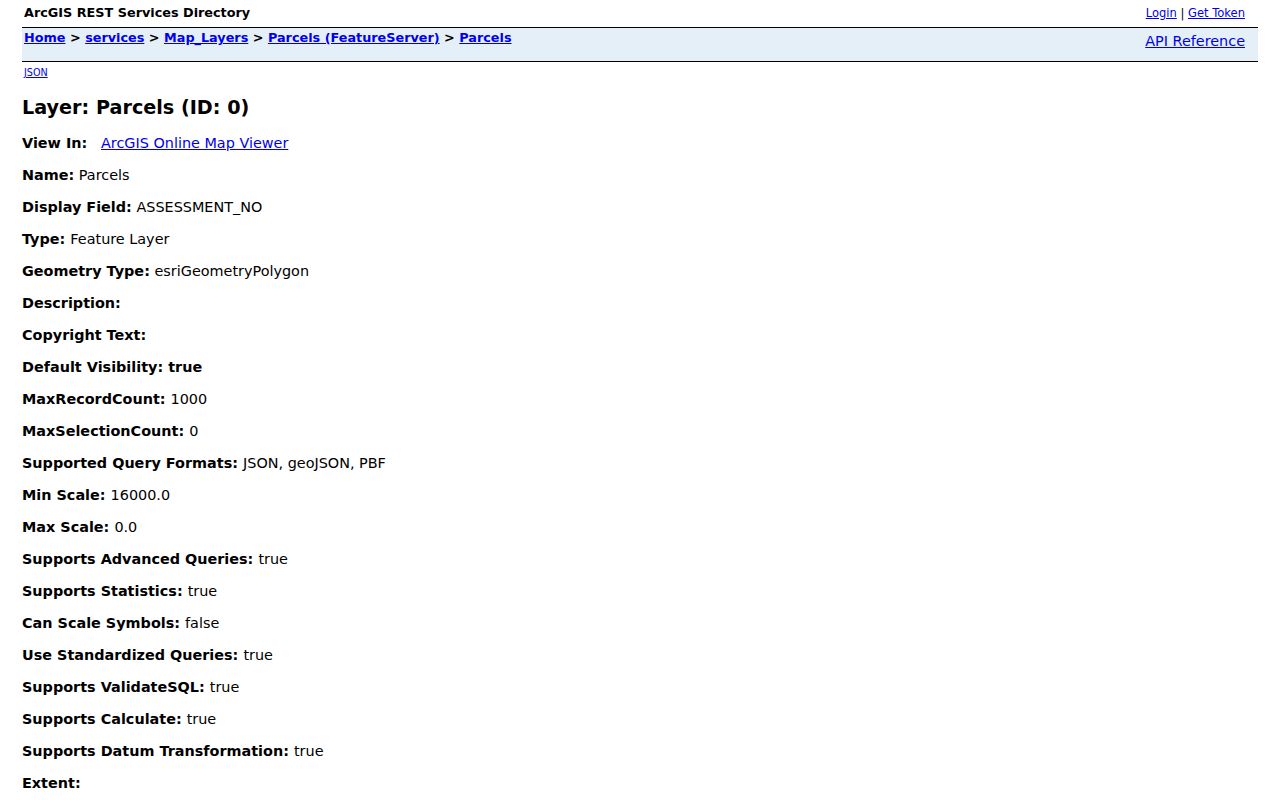
That parcel layer helps keep an APN attached to the right polygon. It does not add phone numbers, household members, or a hidden list of residents to the assessment record.
La Habra Street Parcels in GIS
OC Land Insights and OC Land Records are useful when a street search needs shape, not just text. Find an address, select its parcel, and click the polygons around it. The map can add tract, survey, district, annexation, and parcel context. Land Records also includes address, intersection, theme, identify, draw, measure, and export controls. Exports are limited to the visible extent, so a long street may require several views.
The viewer helps separate a parcel from the road edge and spot a tract or jurisdiction line. A selected polygon supports a deed or permit search, but cannot prove that owner, tax recipient, and occupant are the same person.
The OC Land Insights public viewer provides the parcel-browse context used in an address search.
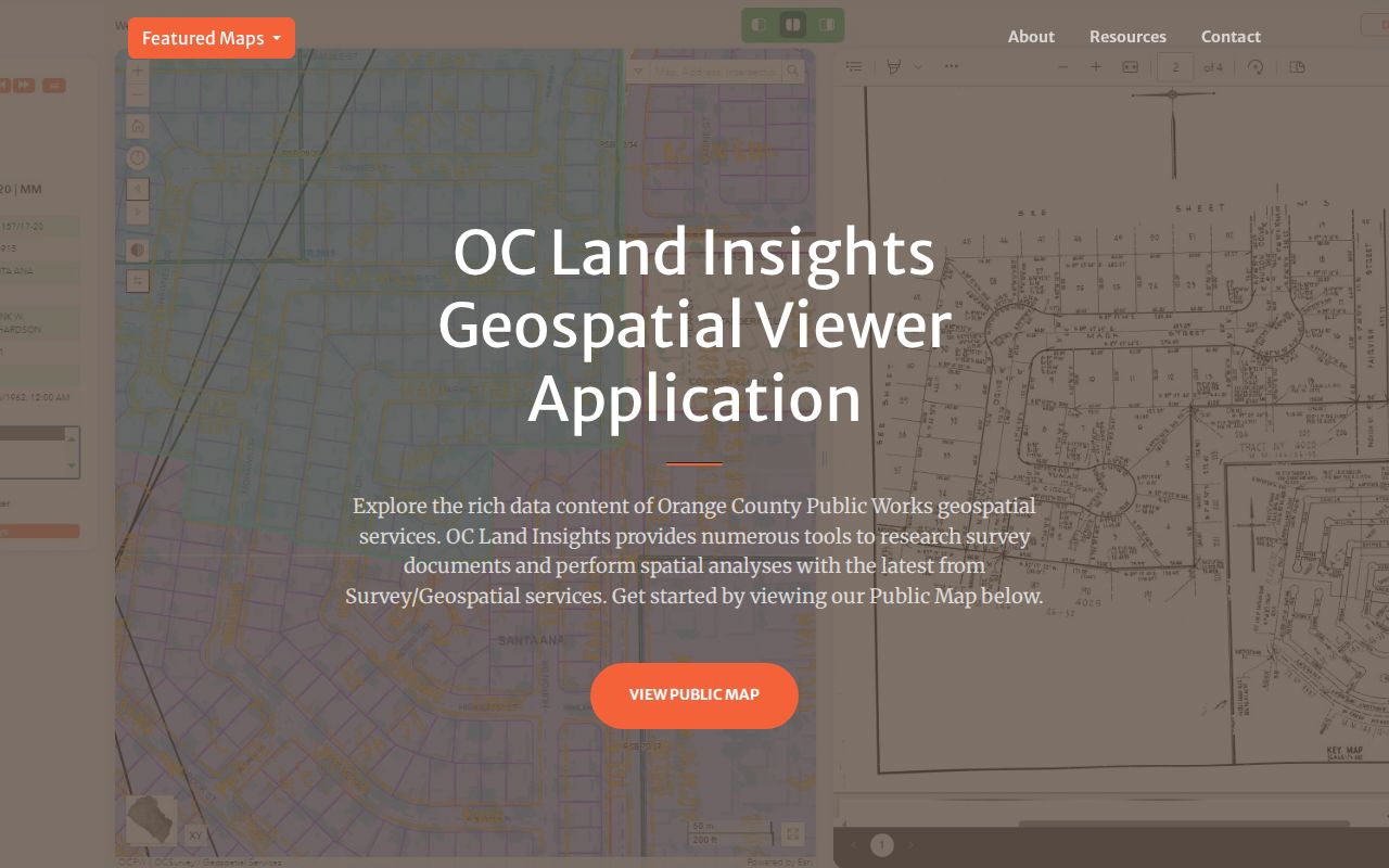
Use the selected APN from this view in the recorder and permit steps.
La Habra Address Keys Explained
Postal text can shift while a parcel's legal identity stays stable. A street directory is easier to audit when each term has its own lane. Save the displayed address, APN, and legal description together so a renamed road or different mailing destination is not mistaken for a new property.
- Parcel
- A mapped unit of land with an APN. The APN is the assessor's administrative key, not a person identifier.
- Situs address
- The physical location of the parcel. It is where the land sits, not necessarily where an owner receives mail.
- Plat
- A recorded parcel or tract map that shows lot lines, roads, and the legal layout used to match maps with deeds.
- Criss-cross directory
- An address-order directory that reverses the usual name key. A verified volume may lead from street and number to a listed subscriber or occupant.
In La Habra, a tax mailing address can identify an absentee owner, trust, representative, or another property. Matching mailing and situs addresses support owner occupancy only; they never identify a complete household.
La Habra Deeds by APN
RecorderWorks is a party index, not a household database. Search the current owner or entity, date range, APN, or legal description. Its modes include person or business name, partial matching, recording dates, book and page, document type, index books, APN, and legal description. Search each spelling and role rather than treating one result as a complete title history.
The online dividing line is January 4, 1982. Retain the year and instrument number for later records; older records may require book, page, and instrument. The index has no recorded images. The Clerk-Recorder will not conduct the search, so use the instrument number, written request, stamped envelope, and county copy route when needed. Research notes a $1-per-page copy charge plus $1 certification for each document or map, subject to the current schedule.
The OC Land Records map can help confirm parcel and map context before the recorder search.
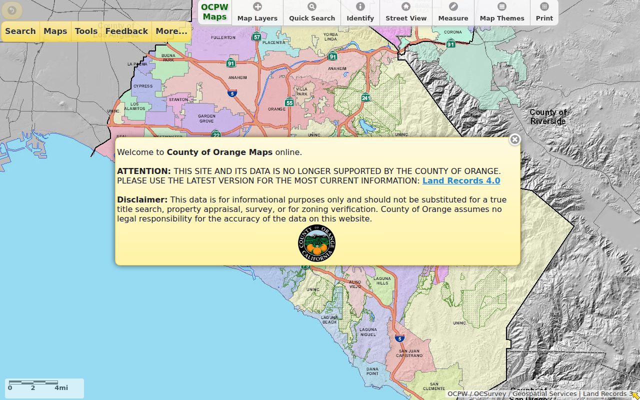
Use the map and the index together. The full deed is needed to confirm the legal description, vesting language, return address, and signatures; none should be inferred from a name-only index hit.
Note: The recorder's automatic property-fraud notice is free and includes a first-page preview when a title-affecting document records.
La Habra Permits by Address
Permit records add time to an address trail. La Habra's EnerGov system supports project and map searching, but its dynamic fields should be checked live. Results may date construction, additions, reroofing, demolition, or a change of use. Applicants, owners, architects, and contractors can appear where details are disclosable, but none alone proves present residence.
Carry the APN and street address from the county record. If no online result answers the question, use the City Hall request route with the department, address or project number, date range, and format. The city states a 10-business-day initial response period, which is an initial determination, not a promise that all pages will be produced then.
The La Habra EnerGov search is the city's public project and permit entry point.
EnerGov is best used as dated property evidence. Its historical coverage start was not verified, so older work should be requested from the city rather than assumed absent.
Code Cases and La Habra Addresses
Code Enforcement supplies another address-keyed trail. The city page covers deteriorated properties, landscaping, visible inoperable vehicles, unpermitted structures, signs, zoning, graffiti, and trash-container storage. It offers a report channel, not an open citywide name or case index. Address-specific closed-case material can be requested, but complainant details and active-investigation information may be withheld.
State the address, APN, date range, and case or permit number when making a request. The goal is to identify a dated city action tied to a parcel, not to identify a private caller or build a list of household members.
The La Habra Code Enforcement page shows the city's scope and reporting route.
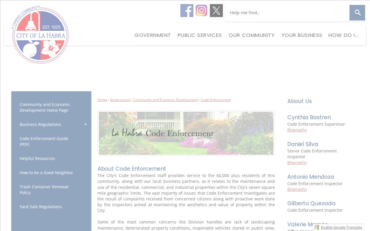
The page's reporting function is useful for locating the right city channel. It is not a public resident directory and should not be read as one.
La Habra Street Names Through Time
Older address searches can fail because a familiar road name was not always the name used in a record. La Habra Boulevard was historically Central Avenue. The official city history confirms the earlier name, but the exact rename year was not verified. Search both names in newspapers, directories, and recorded descriptions, then flag the date gap instead of filling it with an invented year.
Planning maps and recorded subdivision or tract maps help bridge a street-name change. Compare the house number, nearby cross streets, parcel shape, and legal description. A number that looks wrong may belong to a different numbering era or to a parcel created after postwar subdivision. A map can narrow the match; the deed or original volume must confirm it.
For the historical shelf, the verified GTE, Pacific Bell, NARA, and census leads belong beside the address rather than in place of it. Their coverage is a stated year and publication boundary, not proof that every household on the street appeared.
La Habra Street Custodians in Islands
Jurisdiction can change while a street label stays familiar. A 2017 La Habra annexation proposal described six remaining county-island areas: Macy/Randall, Citrus/Idaho, Citrus/Entrada, Cypress/Terry, Hensel/Magda, and Palm/Shadycrest. The proposal described about 130.7 acres. It explains why older permits or service records for a pocket near La Habra may sit with Orange County rather than the city.
Do not assume that a proposal proves a final annexation or an effective date. Check the parcel's present map and verify the historical custodian before requesting older records. The associated-document map can expose tract maps, parcel maps, surveys, corner records, lot-line adjustments, and annexation context.
The OC associated-document map provides parcel and survey-document context for this jurisdiction check.
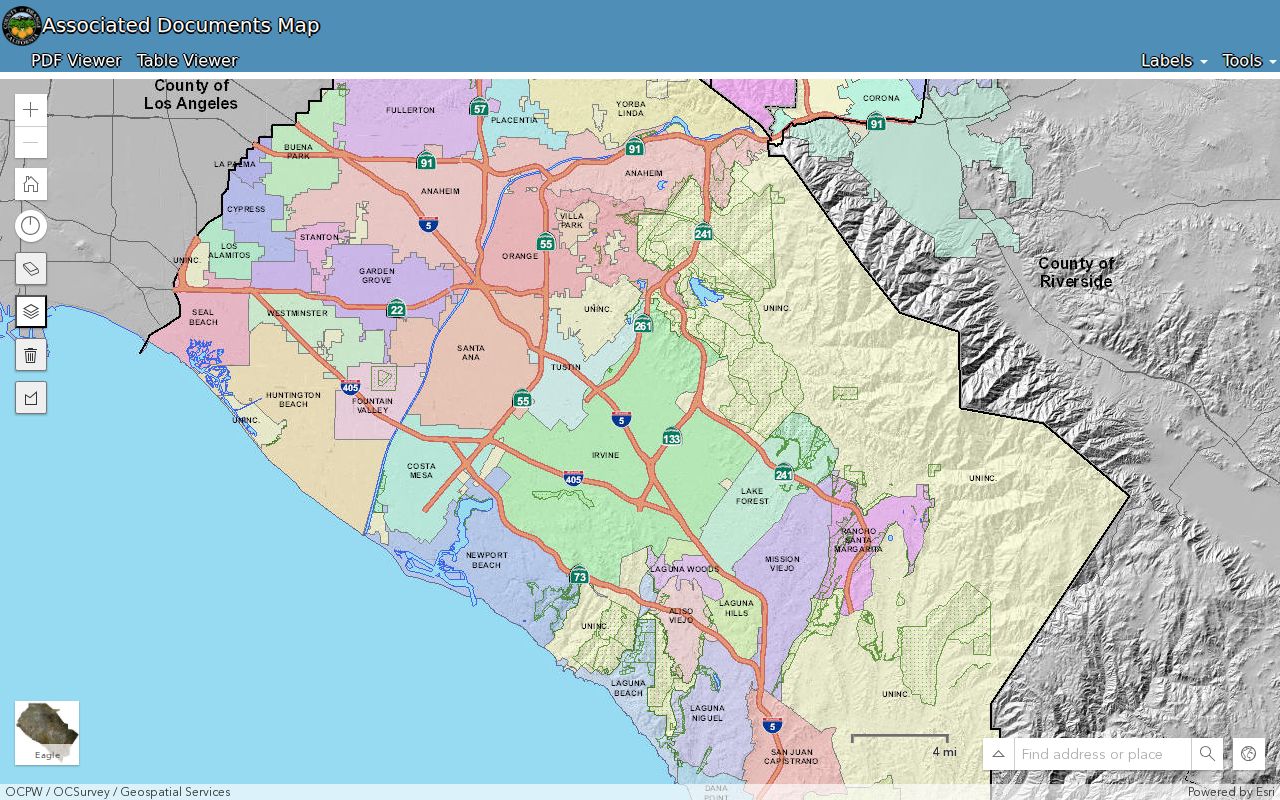
Use the document type and date controls to test the map story. A map result narrows the right office; it does not decide the legal history of an address by itself.
A La Habra Street Directory Has Limits
A careful street directory does not promise a name for every person at every address. Owners, tax recipients, listed subscribers, registered voters, renters, children, and other household members are different categories. Utility customer data is not an open resident list. DMV information is restricted, and court, vital, voter, and Safe at Home rules can shield details.
California Elections Code section 2194 limits voter-registration information to specified purposes. Orange County requires a qualified applicant, original signature, supporting documentation, payment, and security attestations for a voter-data product. A specific-voter request cannot identify everyone on a street. California My Voter Status verifies the searcher's own registration and election information.
There is no general public household list in the county address workflow. Safe at Home participants use a substitute mailing address and identification; never publish or “resolve” an apparent conflict. A narrow CPRA request can seek an identifiable administrative file, but special applications control vital, voter, and court records.
Lawful use. La Habra street and address records are for personal, lawful research. Do not use a name, address, map, or record lead to stalk, harass, intimidate, or harm another person.